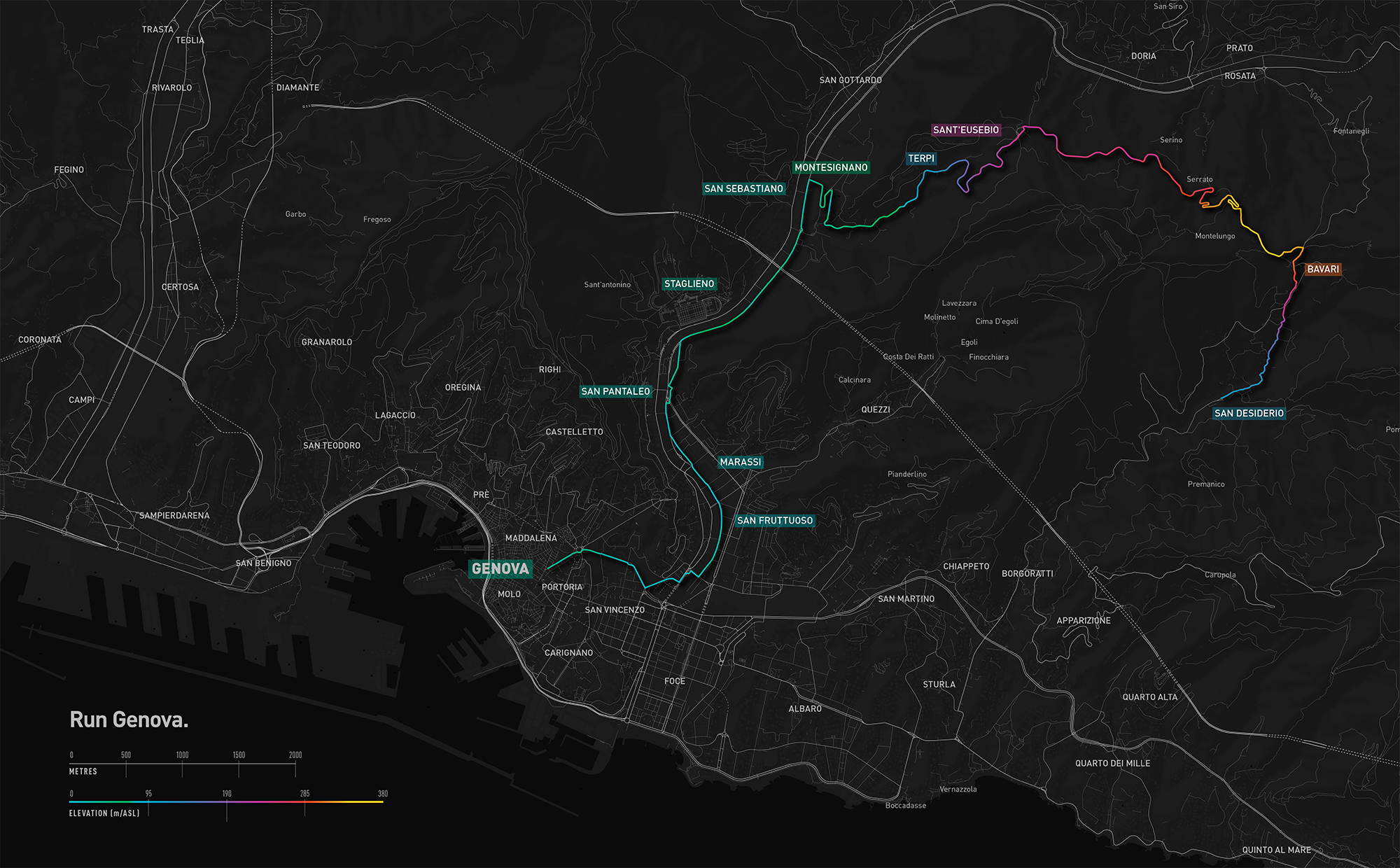
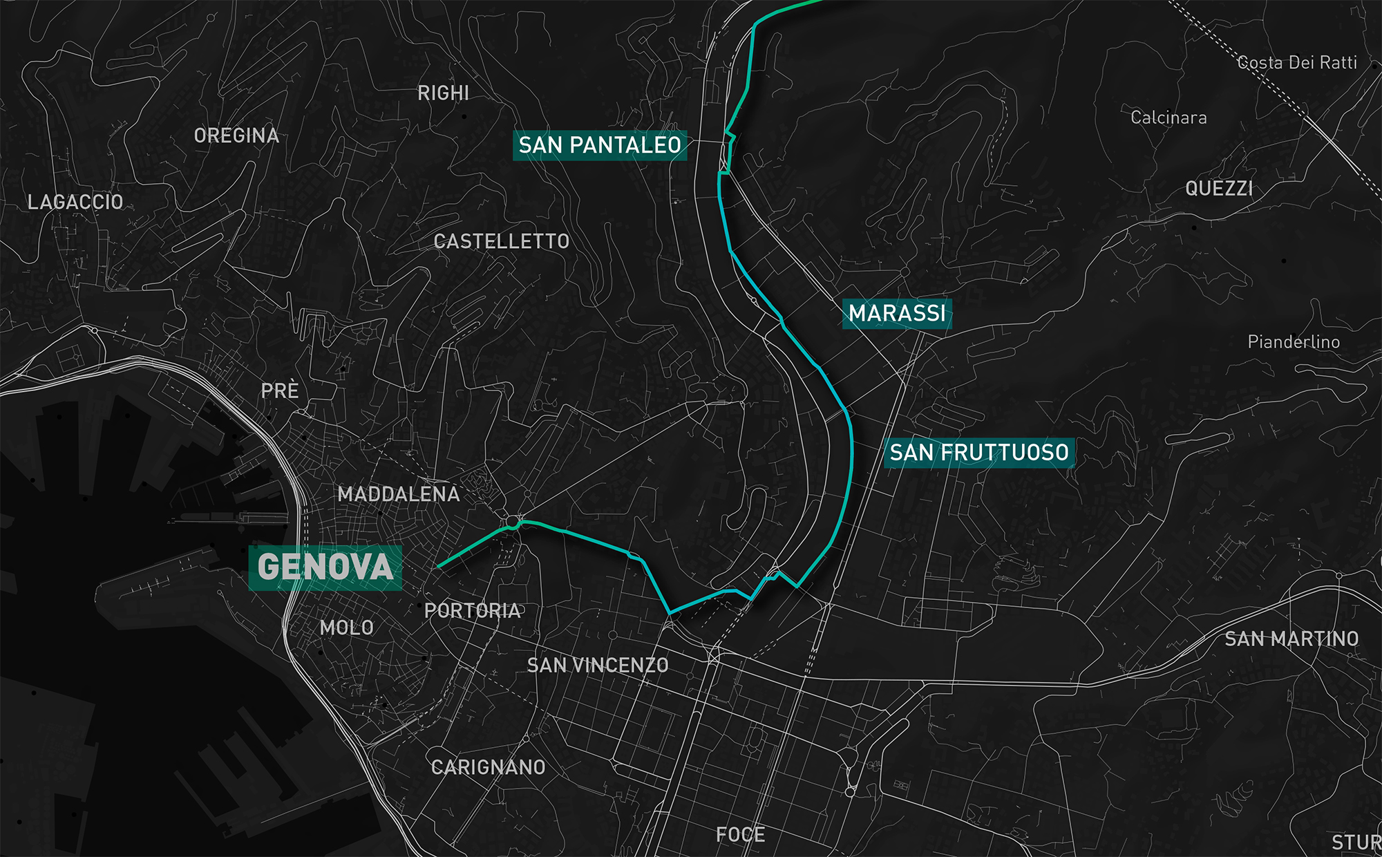
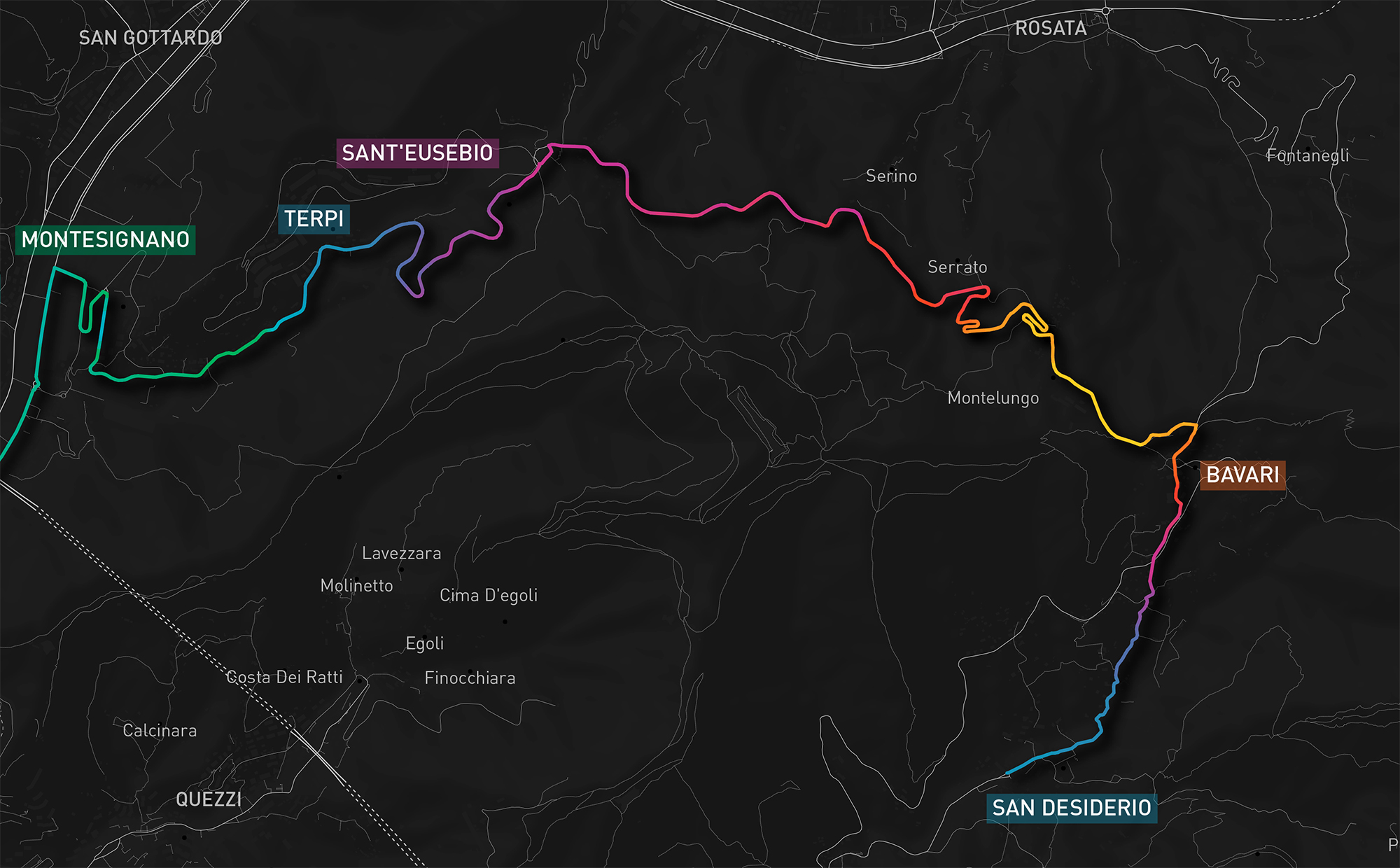
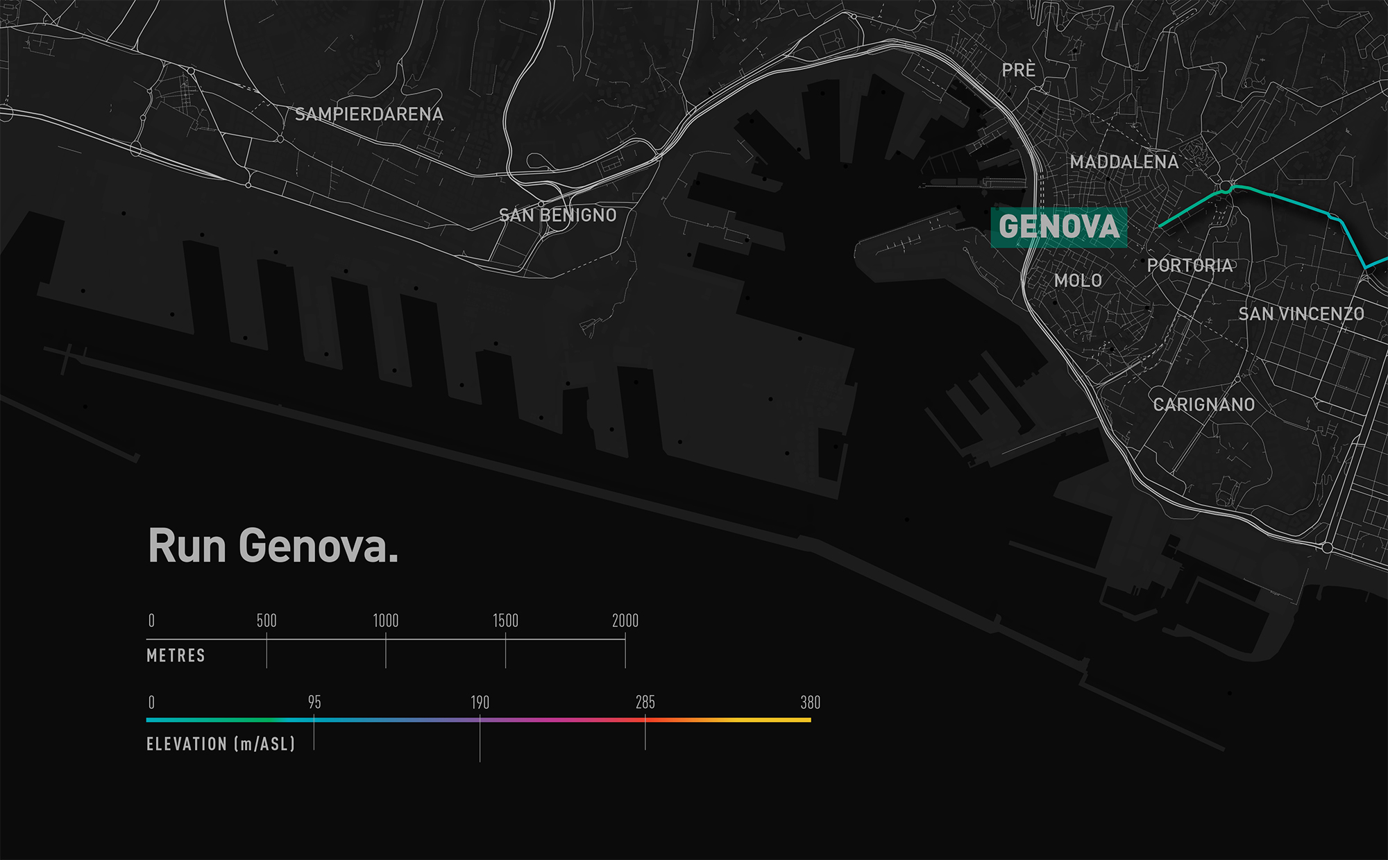
A Sunday morning run throughout the Genovese countryside captured on a handheld GPS.
Elevation was calcuated using a 1m elevation raster and is represented chromatically on the map.
<return